
Borj Hfaed topographic map
Interactive map
Click on the map to display elevation.
About this map
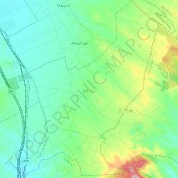
Name: Borj Hfaed topographic map, elevation, terrain.
Location: Borj Hfaed, Délégation Bou Argoub, Gouvernorat Nabeul, Tunisie (36.45891 10.57055 36.53466 10.64300)
Average elevation: 128 m
Minimum elevation: 54 m
Maximum elevation: 322 m