
Crested Butte topographic map
Interactive map
Click on the map to display elevation.
About this map
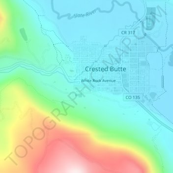
Name: Crested Butte topographic map, elevation, terrain.
Location: Crested Butte, Gunnison County, Colorado, 81224, USA (38.85884 -106.99226 38.87519 -106.96282)
Average elevation: 2,819 m
Minimum elevation: 2,694 m
Maximum elevation: 3,170 m