
Dhahrat al Manzala topographic map
Interactive map
Click on the map to display elevation.
About this map
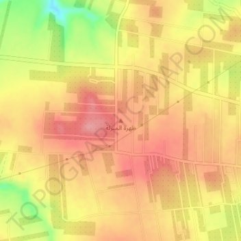
Name: Dhahrat al Manzala topographic map, elevation, terrain.
Location: Dhahrat al Manzala, Irbid, Jordanien (32.56662 35.96662 32.56672 35.96672)
Average elevation: 521 m
Minimum elevation: 453 m
Maximum elevation: 556 m