
Thank you for supporting this site ❤️
Make a donation
Make a donation
CFB Dundurn topographic map
Click on the map to display elevation.
Thank you for supporting this site ❤️
Make a donation
Make a donation
About this map
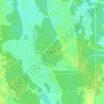
Name: CFB Dundurn topographic map, elevation, terrain.
Location: CFB Dundurn, Dundurn No. 314, Saskatchewan, Canada (51.83392 -106.57116 51.87392 -106.53116)
Average elevation: 522 m
Minimum elevation: 515 m
Maximum elevation: 530 m
Thank you for supporting this site ❤️
Make a donation
Make a donation