
San Luis de Palenque topographic map
Interactive map
Click on the map to display elevation.
About this map
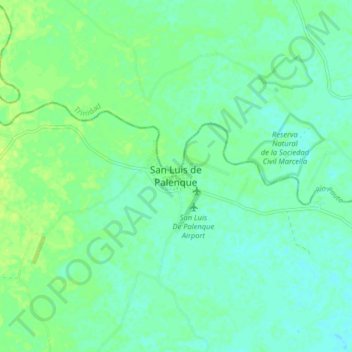
Name: San Luis de Palenque topographic map, elevation, terrain.
Location: San Luis de Palenque, Casanare, Colombia (5.38204 -71.77144 5.46204 -71.69144)
Average elevation: 172 m
Minimum elevation: 166 m
Maximum elevation: 179 m
Other topographic maps
Click on a map to view its topography, its elevation and its terrain.
Semana
Colombia > Casanare > San Luis de Palenque
Semana, San Luis de Palenque, Casanare, RAP Llanos, Colombia
Average elevation: 165 m