
Porur topographic map
Interactive map
Click on the map to display elevation.
About this map
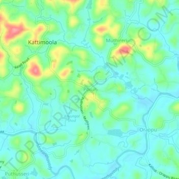
Name: Porur topographic map, elevation, terrain.
Location: Porur, Wayanad, Kerala, India (11.77162 75.91635 11.81162 75.95635)
Average elevation: 741 m
Minimum elevation: 716 m
Maximum elevation: 812 m