
Luling topographic map
Interactive map
Click on the map to display elevation.
About this map
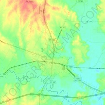
Name: Luling topographic map, elevation, terrain.
Location: Luling, Caldwell County, Texas, 78468, USA (29.64527 -97.70030 29.73462 -97.58941)
Average elevation: 121 m
Minimum elevation: 99 m
Maximum elevation: 156 m