
Otuoke topographic map
Interactive map
Click on the map to display elevation.
About this map
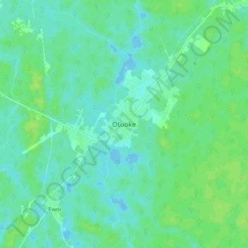
Name: Otuoke topographic map, elevation, terrain.
Location: Otuoke, Ogbia, Bayelsa, Nigeria (4.74854 6.27336 4.82854 6.35336)
Average elevation: 5 m
Minimum elevation: -1 m
Maximum elevation: 11 m