
Ruiselede topographic map
Interactive map
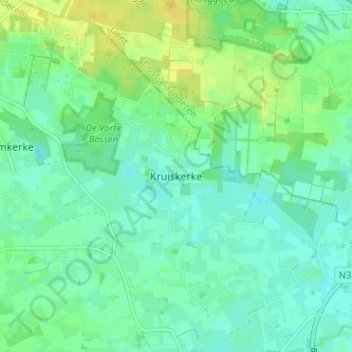
Click on the map to display elevation.
About this map
Name: Ruiselede topographic map, elevation, terrain.
Location: Ruiselede, Kruiskerke, West-Vlaanderen, Vlaanderen, 8755, België (51.04709 3.36750 51.08709 3.40750)
Average elevation: 17 m
Minimum elevation: 9 m
Maximum elevation: 30 m