
Thank you for supporting this site ❤️
Make a donation
Make a donation
Nadroga-Navosa topographic map
Click on the map to display elevation.
Thank you for supporting this site ❤️
Make a donation
Make a donation
About this map
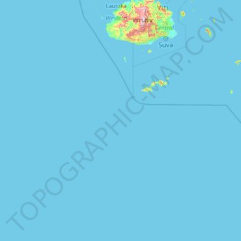
Name: Nadroga-Navosa topographic map, elevation, terrain.
Location: Nadroga-Navosa, Western, Fiji (-21.94343 174.42150 -17.41617 178.09839)
Average elevation: 11 m
Minimum elevation: 0 m
Maximum elevation: 1,164 m
Thank you for supporting this site ❤️
Make a donation
Make a donation