
Thank you for supporting this site ❤️
Make a donation
Make a donation
Calvary topographic map
Click on the map to display elevation.
Thank you for supporting this site ❤️
Make a donation
Make a donation
About this map
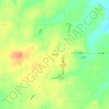
Name: Calvary topographic map, elevation, terrain.
Location: Calvary, Wood County, Texas, United States (32.73791 -95.54718 32.77791 -95.50718)
Average elevation: 132 m
Minimum elevation: 103 m
Maximum elevation: 161 m
Thank you for supporting this site ❤️
Make a donation
Make a donation
Other topographic maps
Click on a map to view its topography, its elevation and its terrain.