
Thank you for supporting this site ❤️
Make a donation
Make a donation
Sinahua topographic map
Click on the map to display elevation.
Thank you for supporting this site ❤️
Make a donation
Make a donation
About this map
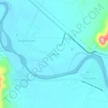
Name: Sinahua topographic map, elevation, terrain.
Location: Sinahua, Pungarabato, Guerrero, México (18.26194 -100.61917 18.30194 -100.57917)
Average elevation: 271 m
Minimum elevation: 243 m
Maximum elevation: 540 m
Thank you for supporting this site ❤️
Make a donation
Make a donation
Other topographic maps
Click on a map to view its topography, its elevation and its terrain.