
Thank you for supporting this site ❤️
Make a donation
Make a donation
Engsbergen topographic map
Click on the map to display elevation.
Thank you for supporting this site ❤️
Make a donation
Make a donation
About this map
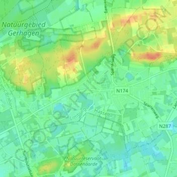
Name: Engsbergen topographic map, elevation, terrain.
Location: Engsbergen, Tessenderlo-Ham, Hasselt, Limburg, 3980, België (51.00983 5.02448 51.04983 5.06448)
Average elevation: 25 m
Minimum elevation: 12 m
Maximum elevation: 48 m
Thank you for supporting this site ❤️
Make a donation
Make a donation
Other topographic maps
Click on a map to view its topography, its elevation and its terrain.