
Thank you for supporting this site ❤️
Make a donation
Make a donation
Olerum topographic map
Click on the map to display elevation.
Thank you for supporting this site ❤️
Make a donation
Make a donation
About this map
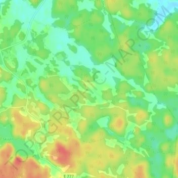
Name: Olerum topographic map, elevation, terrain.
Location: Olerum, Söderköpings kommun, Provinz Östergötland, Schweden (58.34265 16.23249 58.38265 16.27249)
Average elevation: 74 m
Minimum elevation: 52 m
Maximum elevation: 106 m
Thank you for supporting this site ❤️
Make a donation
Make a donation
Other topographic maps
Click on a map to view its topography, its elevation and its terrain.
Thank you for supporting this site ❤️
Make a donation
Make a donation
Norrköpings kommun
Schweden > Provinz Östergötland
Die gefundenen Felsritzungen stellen Motive des alltäglichen Lebens dar, z. B. Schiffe, Tieren aller Art, Menschen, Sonnensymbole und Waffen. Zur damaligen Zeit war die Wasseroberfläche ca. 15 Meter höher, so dass sich die Ritzungen fast auf Höhe der Uferlinie des Motala ströms befanden. Es gibt viele…
Average elevation: 51 m
Thank you for supporting this site ❤️
Make a donation
Make a donation