
Borigama Chhota topographic map
Interactive map
Click on the map to display elevation.
About this map
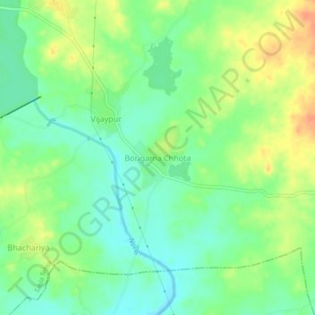
Name: Borigama Chhota topographic map, elevation, terrain.
Average elevation: 169 m
Minimum elevation: 152 m
Maximum elevation: 192 m
Other topographic maps
Click on a map to view its topography, its elevation and its terrain.
Sabla
India > Rajasthan > Sabla Tehsil
Sabla, Sabla Tehsil, Dungarpur District, Rajasthan, 314022, India
Average elevation: 177 m