
Thank you for supporting this site ❤️
Make a donation
Make a donation
Platberg topographic map
Click on the map to display elevation.
Thank you for supporting this site ❤️
Make a donation
Make a donation
About this map
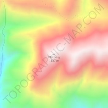
Name: Platberg topographic map, elevation, terrain.
Location: Platberg, George, Western Cape, South Africa (-33.63505 22.89075 -33.63495 22.89085)
Average elevation: 1,461 m
Minimum elevation: 960 m
Maximum elevation: 1,833 m
Thank you for supporting this site ❤️
Make a donation
Make a donation
Other topographic maps
Click on a map to view its topography, its elevation and its terrain.