
Thank you for supporting this site ❤️
Make a donation
Make a donation
Perrowville topographic map
Click on the map to display elevation.
Thank you for supporting this site ❤️
Make a donation
Make a donation
About this map
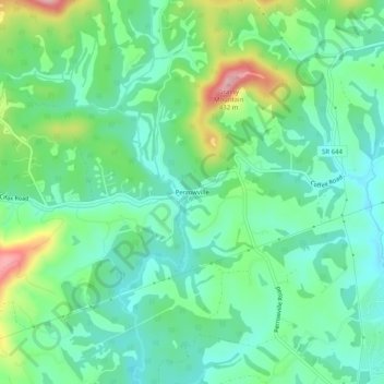
Name: Perrowville topographic map, elevation, terrain.
Location: Perrowville, Bedford County, Virginia, United States (37.39764 -79.37059 37.43764 -79.33059)
Average elevation: 299 m
Minimum elevation: 246 m
Maximum elevation: 428 m
Thank you for supporting this site ❤️
Make a donation
Make a donation
Other topographic maps
Click on a map to view its topography, its elevation and its terrain.