
Thank you for supporting this site ❤️
Make a donation
Make a donation
West Mineral topographic map
Click on the map to display elevation.
Thank you for supporting this site ❤️
Make a donation
Make a donation
About this map
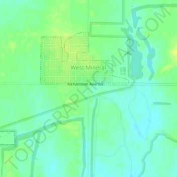
Name: West Mineral topographic map, elevation, terrain.
Location: West Mineral, Cherokee County, Kansas, 66782, United States (37.27245 -94.94063 37.28961 -94.91524)
Average elevation: 273 m
Minimum elevation: 265 m
Maximum elevation: 282 m
Thank you for supporting this site ❤️
Make a donation
Make a donation
Other topographic maps
Click on a map to view its topography, its elevation and its terrain.