
蒙公镇 topographic map
Interactive map
Click on the map to display elevation.
About this map
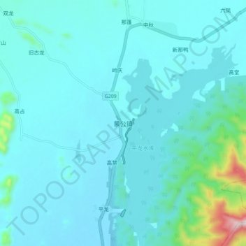
Name: 蒙公镇 topographic map, elevation, terrain.
Location: 蒙公镇, 覃塘区, 贵港市, 广西壮族自治区, 中国 (23.20462 109.36772 23.28462 109.44772)
Average elevation: 128 m
Minimum elevation: 69 m
Maximum elevation: 630 m
Other topographic maps
Click on a map to view its topography, its elevation and its terrain.