
Thank you for supporting this site ❤️
Make a donation
Make a donation
Omega topographic map
Click on the map to display elevation.
Thank you for supporting this site ❤️
Make a donation
Make a donation
About this map
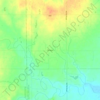
Name: Omega topographic map, elevation, terrain.
Location: Omega, Kingfisher County, Oklahoma, 73764, United States (35.85032 -98.21784 35.89032 -98.17784)
Average elevation: 367 m
Minimum elevation: 349 m
Maximum elevation: 386 m
Thank you for supporting this site ❤️
Make a donation
Make a donation
Other topographic maps
Click on a map to view its topography, its elevation and its terrain.