
Thank you for supporting this site ❤️
Make a donation
Make a donation
Ikire Ile topographic map
Click on the map to display elevation.
Thank you for supporting this site ❤️
Make a donation
Make a donation
About this map
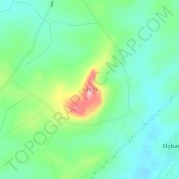
Name: Ikire Ile topographic map, elevation, terrain.
Location: Ikire Ile, Ola Oluwa, Osun State, Nigeria (7.69667 4.21333 7.73667 4.25333)
Average elevation: 319 m
Minimum elevation: 270 m
Maximum elevation: 442 m
Thank you for supporting this site ❤️
Make a donation
Make a donation