
Thank you for supporting this site ❤️
Make a donation
Make a donation
Flat Lick topographic map
Click on the map to display elevation.
Thank you for supporting this site ❤️
Make a donation
Make a donation
About this map
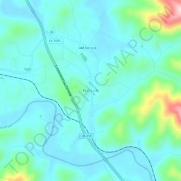
Name: Flat Lick topographic map, elevation, terrain.
Location: Flat Lick, Knox County, Kentucky, 40935, United States (36.80898 -83.79020 36.84898 -83.75020)
Average elevation: 349 m
Minimum elevation: 294 m
Maximum elevation: 607 m
Thank you for supporting this site ❤️
Make a donation
Make a donation