
Thank you for supporting this site ❤️
Make a donation
Make a donation
Eastview topographic map
Click on the map to display elevation.
Thank you for supporting this site ❤️
Make a donation
Make a donation
About this map
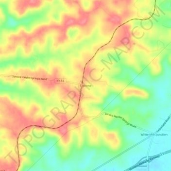
Name: Eastview topographic map, elevation, terrain.
Location: Eastview, Hardin County, Kentucky, 42732, United States (37.56895 -86.07580 37.60895 -86.03580)
Average elevation: 231 m
Minimum elevation: 188 m
Maximum elevation: 267 m
Thank you for supporting this site ❤️
Make a donation
Make a donation
Other topographic maps
Click on a map to view its topography, its elevation and its terrain.