
芒场镇 topographic map
Interactive map
Click on the map to display elevation.
About this map
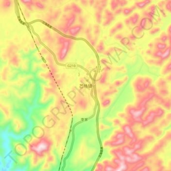
Name: 芒场镇 topographic map, elevation, terrain.
Location: 芒场镇, 南丹县, 河池市, 广西壮族自治区, 中国 (25.11340 107.47204 25.19340 107.55204)
Average elevation: 894 m
Minimum elevation: 565 m
Maximum elevation: 1,172 m
Other topographic maps
Click on a map to view its topography, its elevation and its terrain.