
Thank you for supporting this site ❤️
Make a donation
Make a donation
Harinas topographic map
Click on the map to display elevation.
Thank you for supporting this site ❤️
Make a donation
Make a donation
About this map
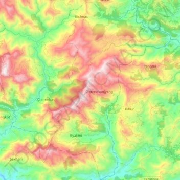
Name: Harinas topographic map, elevation, terrain.
Location: Harinas, Syangja, Gandaki Pradesh, Nepal (27.89867 83.89729 28.05361 84.03140)
Average elevation: 840 m
Minimum elevation: 344 m
Maximum elevation: 1,511 m
Thank you for supporting this site ❤️
Make a donation
Make a donation
Other topographic maps
Click on a map to view its topography, its elevation and its terrain.