
Aubin topographic map
Interactive map
Click on the map to display elevation.
About this map
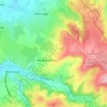
Name: Aubin topographic map, elevation, terrain.
Location: Aubin, Dalhem, Liège, Wallonie, 4607, Belgique (50.70027 5.75613 50.74027 5.79613)
Average elevation: 162 m
Minimum elevation: 98 m
Maximum elevation: 251 m
Other topographic maps
Click on a map to view its topography, its elevation and its terrain.