
Thank you for supporting this site ❤️
Make a donation
Make a donation
Urðartindur topographic map
Click on the map to display elevation.
Thank you for supporting this site ❤️
Make a donation
Make a donation
About this map
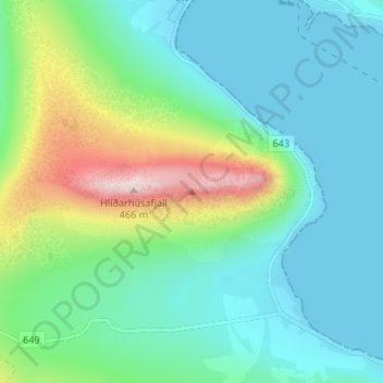
Name: Urðartindur topographic map, elevation, terrain.
Location: Urðartindur, Árneshreppur, 524, Iceland (66.03716 -21.56456 66.03726 -21.56446)
Average elevation: 109 m
Minimum elevation: 0 m
Maximum elevation: 453 m
Thank you for supporting this site ❤️
Make a donation
Make a donation