
Aba topographic map
Click on the map to display elevation.
About this map
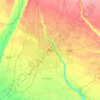
Name: Aba topographic map, elevation, terrain.
Location: Aba, Aba South, Abia State, Nigeria (4.95280 7.20514 5.27280 7.52514)
Average elevation: 60 m
Minimum elevation: 8 m
Maximum elevation: 109 m