
Thank you for supporting this site ❤️
Make a donation
Make a donation
Malika topographic map
Click on the map to display elevation.
Thank you for supporting this site ❤️
Make a donation
Make a donation
About this map
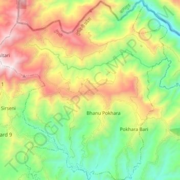
Name: Malika topographic map, elevation, terrain.
Location: Malika, Gulmi, Lumbini Province, Nepal (28.15573 83.07786 28.27095 83.20329)
Average elevation: 1,547 m
Minimum elevation: 855 m
Maximum elevation: 2,655 m
Thank you for supporting this site ❤️
Make a donation
Make a donation