
Kura topographic map
Interactive map
Click on the map to display elevation.
About this map
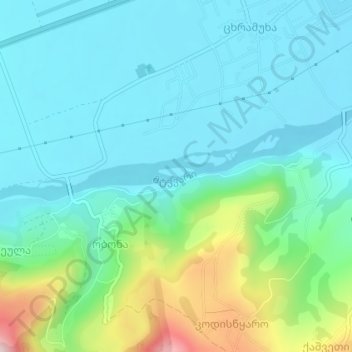
Name: Kura topographic map, elevation, terrain.
Location: Kura, Khashuri Municipality, Inner Kartli, 5700, Georgia (41.96444 43.56960 41.96552 43.57509)
Average elevation: 774 m
Minimum elevation: 693 m
Maximum elevation: 1,060 m