Marion County topographic map
Interactive map
Click on the map to display elevation.
About this map
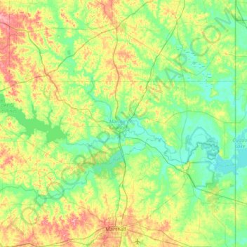
Name: Marion County topographic map, elevation, terrain.
Location: Marion County, Texas, 75657, United States of America (32.68789 -94.70565 32.88087 -94.04275)
Average elevation: 87 m
Minimum elevation: 50 m
Maximum elevation: 179 m
Other topographic maps
Click on a map to view its topography, its elevation and its terrain.
Texas
United States of America > Texas
With 10 climatic regions, 14 soil regions and 11 distinct ecological regions, regional classification becomes problematic with differences in soils, topography, geology, rainfall, and plant and animal communities. One classification system divides Texas, in order from southeast to west, into the following:…
Average elevation: 641 m