
Thank you for supporting this site ❤️
Make a donation
Make a donation
Surfside Beach topographic map
Click on the map to display elevation.
Thank you for supporting this site ❤️
Make a donation
Make a donation
About this map
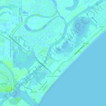
Name: Surfside Beach topographic map, elevation, terrain.
Location: Surfside Beach, Brazoria County, Texas, United States (28.93661 -95.30586 28.98674 -95.25132)
Average elevation: 2 m
Minimum elevation: -3 m
Maximum elevation: 9 m
Thank you for supporting this site ❤️
Make a donation
Make a donation
Other topographic maps
Click on a map to view its topography, its elevation and its terrain.