
Thank you for supporting this site ❤️
Make a donation
Make a donation
Wye Oak State Park topographic map
Click on the map to display elevation.
Thank you for supporting this site ❤️
Make a donation
Make a donation
About this map
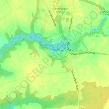
Name: Wye Oak State Park topographic map, elevation, terrain.
Location: Wye Oak State Park, Talbot County, Maryland, United States (38.93836 -76.08830 38.94184 -76.08034)
Average elevation: 14 m
Minimum elevation: -1 m
Maximum elevation: 21 m
Thank you for supporting this site ❤️
Make a donation
Make a donation
Other topographic maps
Click on a map to view its topography, its elevation and its terrain.
Thank you for supporting this site ❤️
Make a donation
Make a donation
Thank you for supporting this site ❤️
Make a donation
Make a donation