
Sur En topographic map
Interactive map
Click on the map to display elevation.
About this map
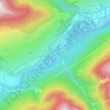
Name: Sur En topographic map, elevation, terrain.
Average elevation: 1,447 m
Minimum elevation: 1,090 m
Maximum elevation: 2,139 m
Other topographic maps
Click on a map to view its topography, its elevation and its terrain.
Sins (Sent)
Schweiz > Graubünden > Region Unterengadin/Münstertal > Scuol
Sins (Sent), Scuol, Region Unterengadin/Münstertal, Graubünden, 7554, Schweiz
Average elevation: 1,529 m