
Jonchère-Malmaison-Saint-Cucufa topographic map
Interactive map
Click on the map to display elevation.
About this map
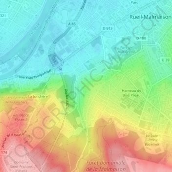
Name: Jonchère-Malmaison-Saint-Cucufa topographic map, elevation, terrain.
Average elevation: 78 m
Minimum elevation: 21 m
Maximum elevation: 166 m