
Mill topographic map
Interactive map
Click on the map to display elevation.
About this map
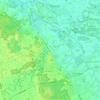
Name: Mill topographic map, elevation, terrain.
Location: Mill, Mill en Sint Hubert, North Brabant, Netherlands (51.66179 5.73528 51.72343 5.83011)
Average elevation: 14 m
Minimum elevation: 7 m
Maximum elevation: 26 m