
Thank you for supporting this site ❤️
Make a donation
Make a donation
Roseville topographic map
Click on the map to display elevation.
Thank you for supporting this site ❤️
Make a donation
Make a donation
About this map
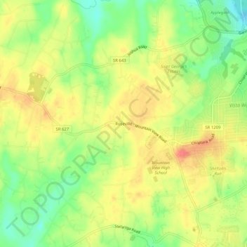
Name: Roseville topographic map, elevation, terrain.
Location: Roseville, Stafford County, Virginia, 22556, United States (38.44512 -77.52387 38.48512 -77.48387)
Average elevation: 86 m
Minimum elevation: 56 m
Maximum elevation: 110 m
Thank you for supporting this site ❤️
Make a donation
Make a donation
Other topographic maps
Click on a map to view its topography, its elevation and its terrain.