
秧坝镇 topographic map
Interactive map
Click on the map to display elevation.
About this map
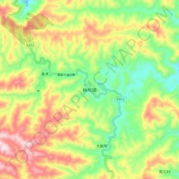
Name: 秧坝镇 topographic map, elevation, terrain.
Location: 秧坝镇, 册亨县, 黔西南布依族苗族自治州, 贵州省, 中国 (24.84760 105.78000 24.92760 105.86000)
Average elevation: 1,072 m
Minimum elevation: 845 m
Maximum elevation: 1,355 m
Other topographic maps
Click on a map to view its topography, its elevation and its terrain.