
Thank you for supporting this site ❤️
Make a donation
Make a donation
Langford topographic map
Click on the map to display elevation.
Thank you for supporting this site ❤️
Make a donation
Make a donation
About this map
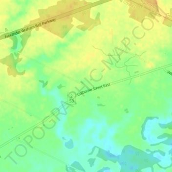
Name: Langford topographic map, elevation, terrain.
Location: Langford, Brant County, Ontario, N3T 5L4, Canada (43.16867 -80.13264 43.16877 -80.13254)
Average elevation: 214 m
Minimum elevation: 199 m
Maximum elevation: 227 m
Thank you for supporting this site ❤️
Make a donation
Make a donation