
Johanneberg topographic map
Interactive map
Click on the map to display elevation.
About this map
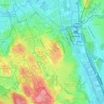
Name: Johanneberg topographic map, elevation, terrain.
Average elevation: 38 m
Minimum elevation: 2 m
Maximum elevation: 101 m
Other topographic maps
Click on a map to view its topography, its elevation and its terrain.
Göteborg
Schweden > Provinz Västra Götaland > Göteborg
Göteborg, Göteborgs Stad, Provinz Västra Götaland, Landesteil Götaland, 41106, Schweden
Average elevation: 45 m