
Thank you for supporting this site ❤️
Make a donation
Make a donation
Bleret topographic map
Click on the map to display elevation.
Thank you for supporting this site ❤️
Make a donation
Make a donation
About this map
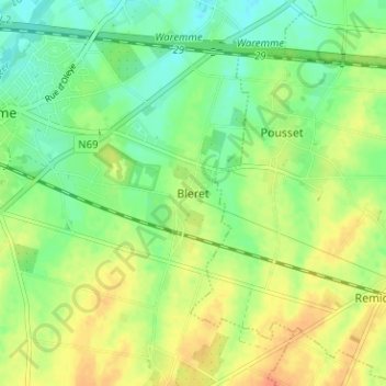
Name: Bleret topographic map, elevation, terrain.
Location: Bleret, Borgworm, Luik, Wallonië, 4300, België (50.66933 5.26889 50.70933 5.30889)
Average elevation: 126 m
Minimum elevation: 108 m
Maximum elevation: 147 m
Thank you for supporting this site ❤️
Make a donation
Make a donation