
Mestersvig topographic map
Interactive map
Click on the map to display elevation.
About this map
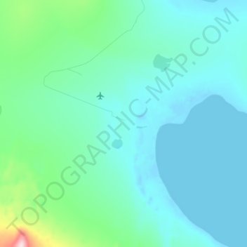
Name: Mestersvig topographic map, elevation, terrain.
Location: Mestersvig, Greenland (72.21236 -23.93966 72.25236 -23.89966)
Average elevation: 42 m
Minimum elevation: -9 m
Maximum elevation: 318 m