
Thank you for supporting this site ❤️
Make a donation
Make a donation
Choice topographic map
Click on the map to display elevation.
Thank you for supporting this site ❤️
Make a donation
Make a donation
About this map
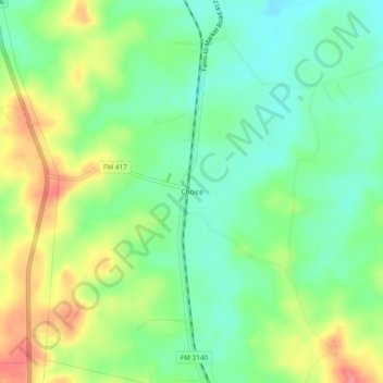
Name: Choice topographic map, elevation, terrain.
Location: Choice, Shelby County, Texas, United States (31.67962 -94.16547 31.71962 -94.12547)
Average elevation: 104 m
Minimum elevation: 73 m
Maximum elevation: 154 m
Thank you for supporting this site ❤️
Make a donation
Make a donation
Other topographic maps
Click on a map to view its topography, its elevation and its terrain.