
Thank you for supporting this site ❤️
Make a donation
Make a donation
Spalding Dam topographic map
Click on the map to display elevation.
Thank you for supporting this site ❤️
Make a donation
Make a donation
About this map
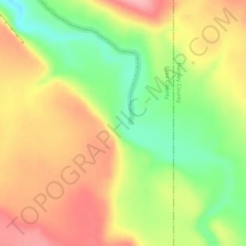
Name: Spalding Dam topographic map, elevation, terrain.
Location: Spalding Dam, Lake County, Oregon, United States (42.19151 -119.37109 42.19161 -119.37099)
Average elevation: 1,712 m
Minimum elevation: 1,642 m
Maximum elevation: 1,775 m
Thank you for supporting this site ❤️
Make a donation
Make a donation
Other topographic maps
Click on a map to view its topography, its elevation and its terrain.