
Thank you for supporting this site ❤️
Make a donation
Make a donation
Brake topographic map
Click on the map to display elevation.
Thank you for supporting this site ❤️
Make a donation
Make a donation
About this map
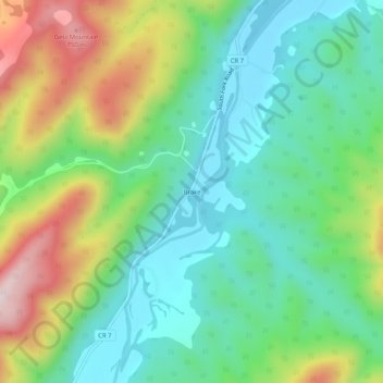
Name: Brake topographic map, elevation, terrain.
Location: Brake, Hardy County, West Virginia, United States (38.86956 -79.05614 38.90956 -79.01614)
Average elevation: 468 m
Minimum elevation: 307 m
Maximum elevation: 794 m
Thank you for supporting this site ❤️
Make a donation
Make a donation
Other topographic maps
Click on a map to view its topography, its elevation and its terrain.