
Parette topographic map
Interactive map
Click on the map to display elevation.
About this map
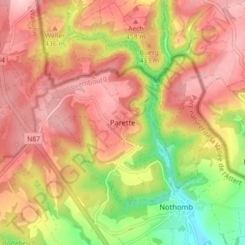
Name: Parette topographic map, elevation, terrain.
Location: Parette, Attert, Aarlen, Luxemburg, Wallonië, 6717, België (49.76550 5.75259 49.80550 5.79259)
Average elevation: 415 m
Minimum elevation: 304 m
Maximum elevation: 489 m
Other topographic maps
Click on a map to view its topography, its elevation and its terrain.