
2-chome topographic map
Interactive map
Click on the map to display elevation.
About this map
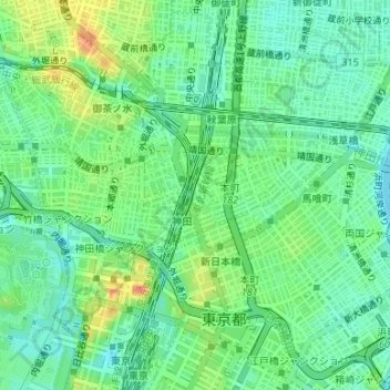
Name: 2-chome topographic map, elevation, terrain.
Location: 2-chome, Kajicho, Chiyoda, Tokyo, Kanto, 101-0044, Japan (35.69042 139.77023 35.69467 139.77349)
Average elevation: 18 m
Minimum elevation: 1 m
Maximum elevation: 46 m
Other topographic maps
Click on a map to view its topography, its elevation and its terrain.