
Thank you for supporting this site ❤️
Make a donation
Make a donation
Lower Sugarloaf Sound topographic map
Click on the map to display elevation.
Thank you for supporting this site ❤️
Make a donation
Make a donation
About this map
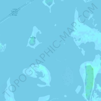
Name: Lower Sugarloaf Sound topographic map, elevation, terrain.
Location: Lower Sugarloaf Sound, Monroe County, Florida, United States (24.62249 -81.57645 24.62259 -81.57635)
Average elevation: 0 m
Minimum elevation: -2 m
Maximum elevation: 5 m
Thank you for supporting this site ❤️
Make a donation
Make a donation
Other topographic maps
Click on a map to view its topography, its elevation and its terrain.
Thank you for supporting this site ❤️
Make a donation
Make a donation
Thank you for supporting this site ❤️
Make a donation
Make a donation
Thank you for supporting this site ❤️
Make a donation
Make a donation
Thank you for supporting this site ❤️
Make a donation
Make a donation