
Fécan topographic map
Interactive map
Click on the map to display elevation.
About this map
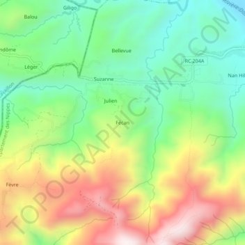
Name: Fécan topographic map, elevation, terrain.
Average elevation: 647 m
Minimum elevation: 326 m
Maximum elevation: 1,119 m
Other topographic maps
Click on a map to view its topography, its elevation and its terrain.
Abricot
Haïti > Département des Nippes > L'Asile > Abricot
Abricot, L'Asile, Arrondissement de l’Anse-à-Veau, Département des Nippes, Haïti
Average elevation: 272 m