
Thank you for supporting this site ❤️
Make a donation
Make a donation
Leveringhausen topographic map
Click on the map to display elevation.
Thank you for supporting this site ❤️
Make a donation
Make a donation
About this map
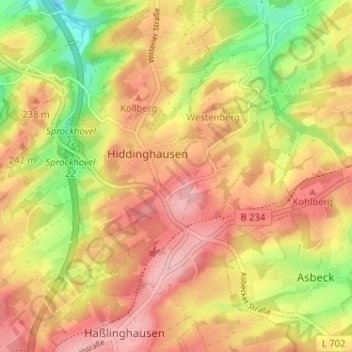
Name: Leveringhausen topographic map, elevation, terrain.
Average elevation: 213 m
Minimum elevation: 132 m
Maximum elevation: 271 m
Thank you for supporting this site ❤️
Make a donation
Make a donation
Other topographic maps
Click on a map to view its topography, its elevation and its terrain.
45549
Deutschland > Nordrhein-Westfalen > Ennepe-Ruhr-Kreis > Sprockhövel > Scheven
Average elevation: 225 m
Hiddinghausen
Deutschland > Nordrhein-Westfalen > Ennepe-Ruhr-Kreis > Sprockhövel
Average elevation: 205 m
Alter Schee
Deutschland > Nordrhein-Westfalen > Ennepe-Ruhr-Kreis > Sprockhövel
Average elevation: 267 m